Running heatmaps
As part of my goal to run 5K every day this January, I’ve been tracking my progress on Strava, and the heatmaps are fascinating. Here’s what they reveal about where I’ve been logging my miles over the years.
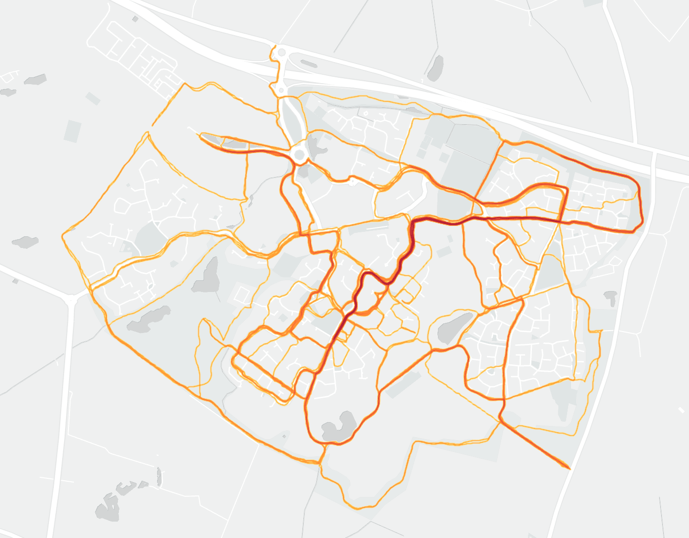
First up we have Cambourne, a town a few miles to the west of Cambridge. It's where I live and therefore where I start and stop most of my runs.

There's plenty of locations to explore, including a nature reserve to the south and footpaths around the perimeter.
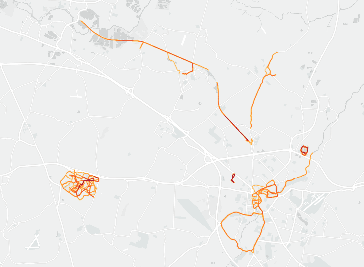
If we zoom out to include Cambridge and its surroundings we can see I've logged a lot of time on the guided busway (the relatively smooth line in the north). This reflects a number of years living in some of the villages which lie alongside it.

Other features which jump out are the two deep-red small circuits. These are parkruns. Storey's Field to the west, and Milton Country Park to the north east.
We can also see a few runs up and down the towpath of the River Cam towards Baits Bite Lock. Finally, the big loop out to the south-west of Cambridge is part of the Cambridge Half Marathon which I've run a few times.
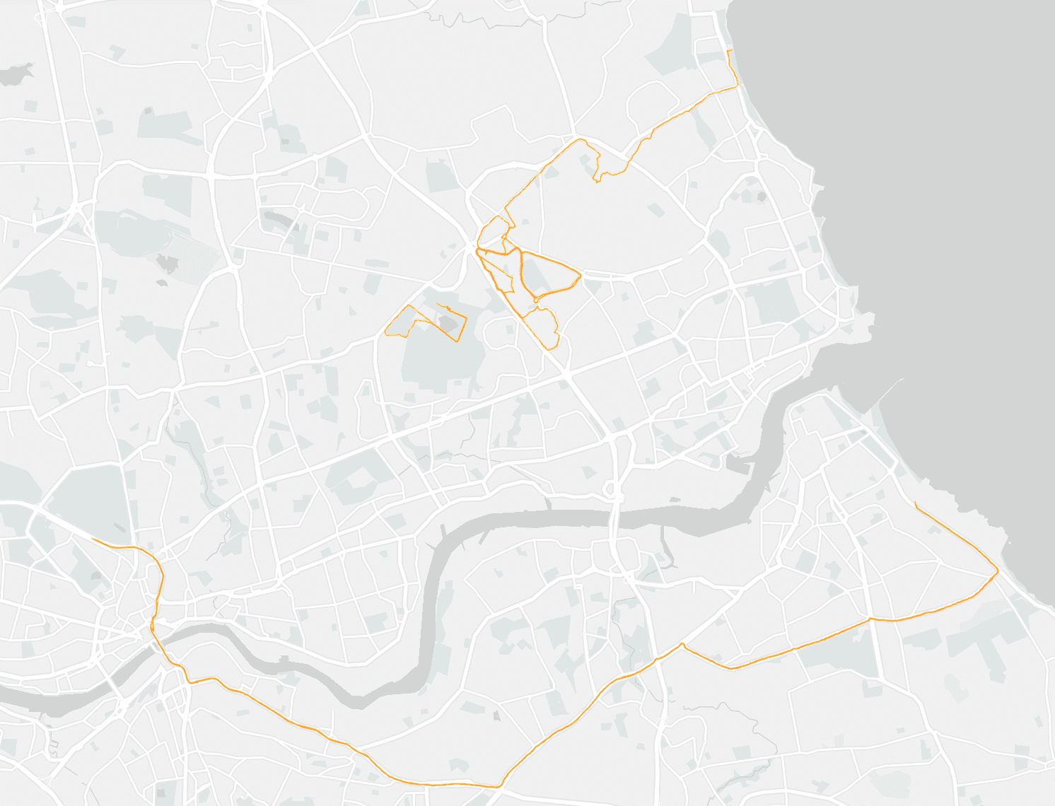
My last example is of Newcastle and North Tyneside. There are a few runs around my parent's home but the most noticeable path is the one going from Newcastle City centre to South Shields. This is the course of the Great North Run which I've run a few times and hope to do so in the future.

With two weeks' of 5K runs under my belt, it's interesting to see what the next half of January has in store. These heatmaps remind me just how much there is to explore close to home.